Day two of our Northern Pacific adventure found us in the Columbia River Gorge. The Columbia River Gorge National Scenic Area encompasses 292,500 acres, running from the mouth of the Sandy River to the mouth of the Deschutes River and spanning southern Washington and northern Oregon. The Gorge is unique in its natural and cultural history, as well as its designation as a National Scenic Area.
 |
| Beginning our tour in Troutdale, OR |
 |
| Sandy River |
 |
| Historic Route 30 |
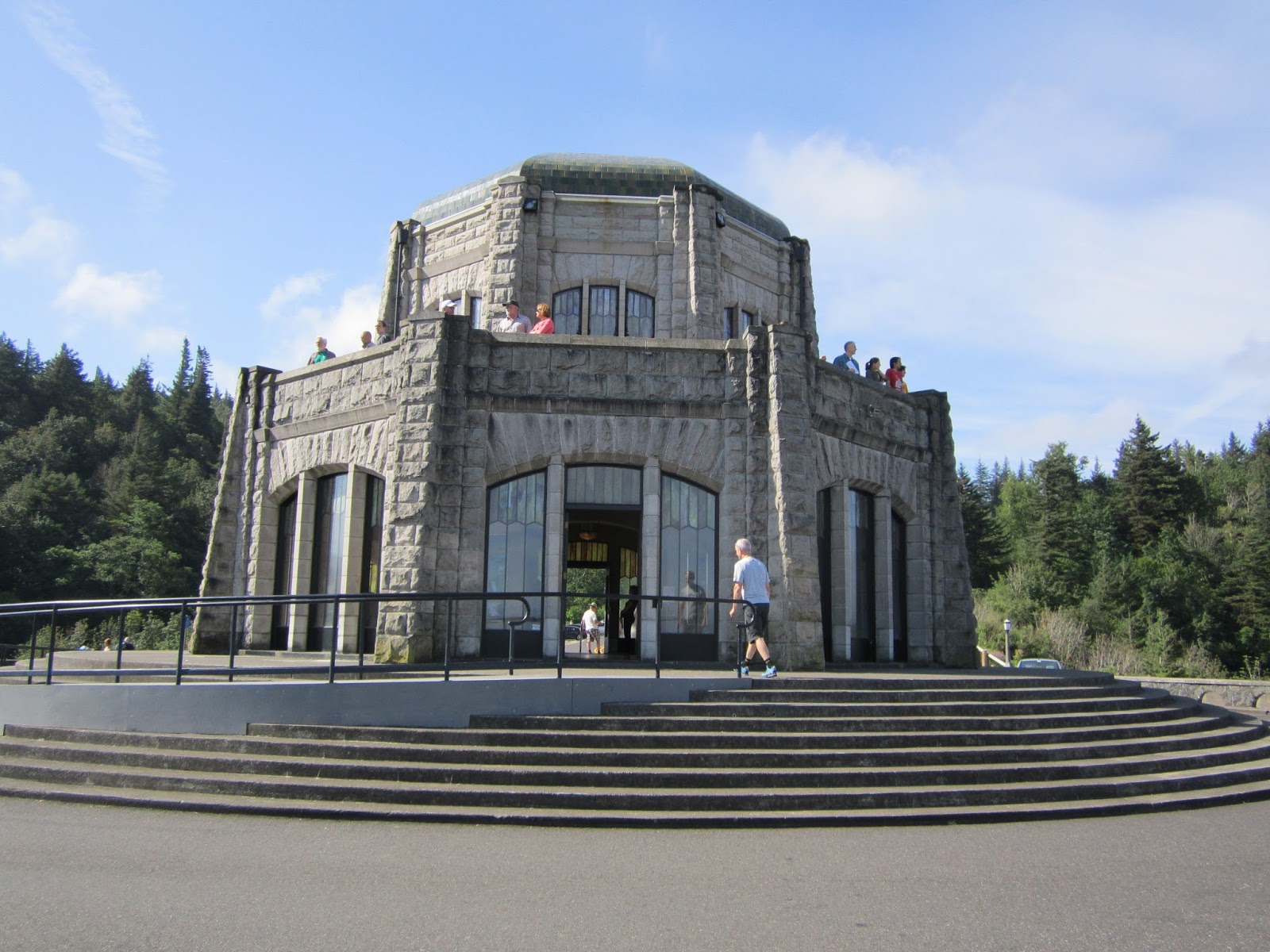
Beginning in Troutdale, OR, we followed the Historic Columbia River Highway stopping at the Women's Forum Overlook and Crown Point Vista House to take in the beautiful scenery.
 |
| View from Women's Forum Overlook with Crown Point Vista House middle right |
 |
| Crown Point Vista House |
 |
| View from Crown Vista House |
 |
| Selfie from the parking lot of Crown Point Vista House |
Next we hiked to several waterfalls along the gorge with the first one being Latourell Falls. Latourell Falls is the closest of the Columbia Gorge waterfalls to Portland. It's just barely visible from the highway, but a short jaunt up a steep paved path leads to a clear viewpoint. A walk down a different path leads to the base of the falls. Latourell Falls, a 249' plunge, is beautiful in all seasons. This is where TK saw her first banana slug. Watch where you step as these slugs are up to 6" long and make a huge mess if you should step on one!
 |
| Latourell Falls |
 |
| Latourell Falls sign |
 |
| Yikes! Banana slug |
The next waterfall we visited was Shepperd's Dale. In 1915, a local dairy farmer named George Shepperd gave all that he had (this tract of land) to the City of Portland as a memorial to his wife. Today, thousands of visitors along the Historic Columbia River Highway visit this beautiful spot, with its roaring waterfall cascading down steep cliffs into Youngs Creek and out to the Columbia River far below. The upper fall is around 42' tall. The lower tier is around 50' tall.
 |
| Shepperd's Dell Falls |
The next waterfall in line was Bridal Veil Falls. The lower trail at Bridal Veil takes you downhill to the base of Bridal Veil Falls and is about a mile round trip to the falls and back. The falls can be fully appreciated from the deck of a viewing platform rebuilt in 1996.
 |
| Bridal Veil Falls |
After leaving Shepperd's Dale we visited Wahkeena Falls. Wahkeena Falls is one of the more popular destinations in the gorge and there's a reason for that. Wahkeena Falls has a beauty all its own. It's not a huge, single fall like Multnomah or Latourell and there's no lodge or fancy freeway exit to draw people. Wahkeena Creek falls this way and that, now a plunge, now a horsetail, now a cascade. It's just beautiful.
 |
| Selfie in front of Wakeena Falls |
 |
| Wakeena Falls |
Our next stop was Multnomah Falls. At 621 feet tall, Multnomah Falls is the centerpiece of the waterfall-rich Columbia River Gorge and also the busiest! By most accounts, it is the tallest falls in Oregon and the most visited natural attraction in the state (did I mention busiest?). Although Multnomah Falls is suppose to be the climax of a series of large and small cascades all along Multnomah Creek we enjoyed our next stop even more...Oneonta Falls!
 |
| Multnomah Falls sign |
 |
| Lower Multnomah Falls |
 |
| View of upper Multnomah Falls |
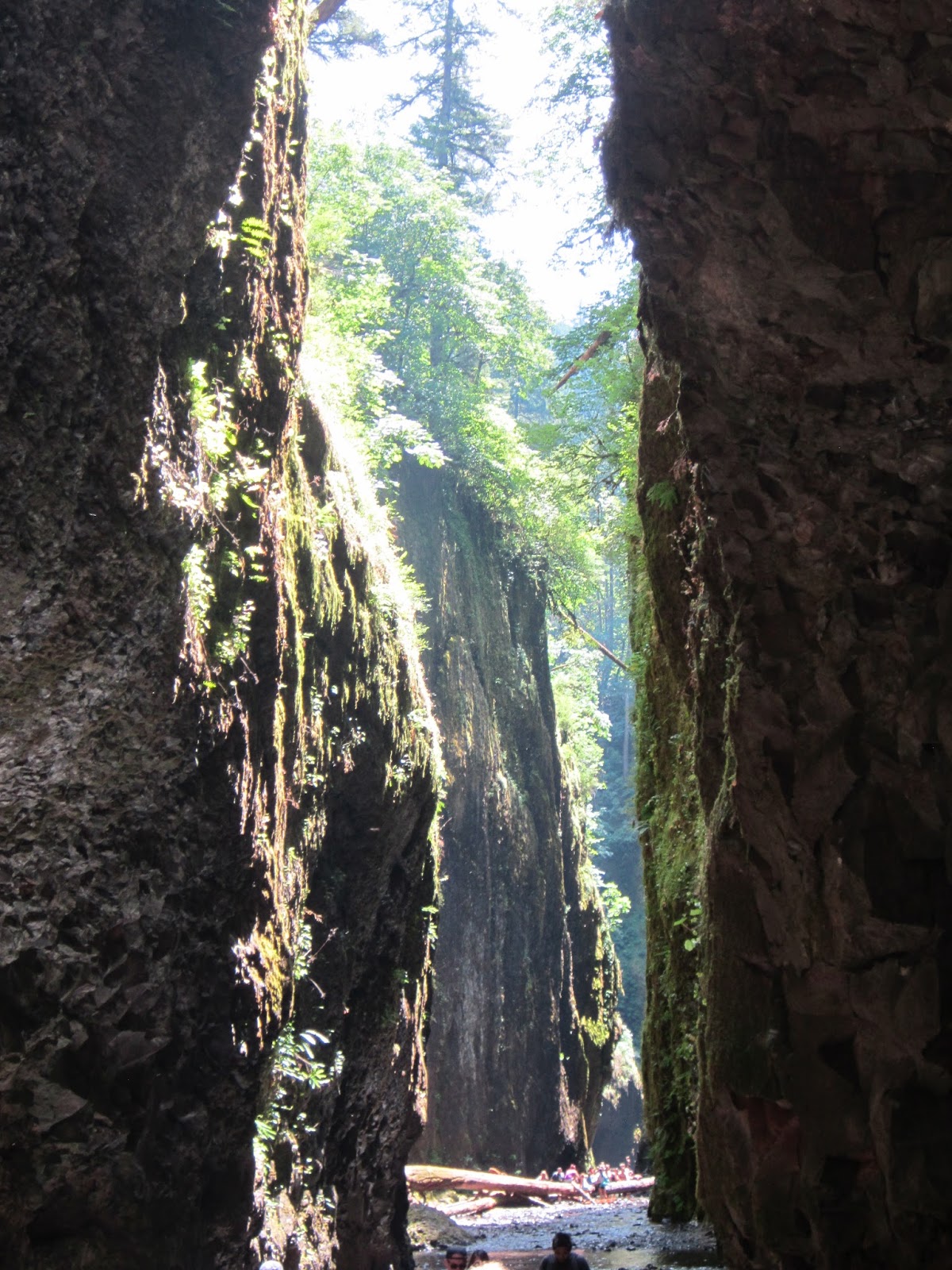
There are four waterfalls on Oneonta Creek. The lowest falls at the head of Oneonta Gorge, is often called Oneonta Falls, but in fact that is Lower Oneonta Falls. Lower Oneonta Gorge is not accessible by trail. Rather you must walk up the creek bed, over a large and perhaps unstable log jam, through a moss and fern-lined slot canyon, and up to your waist (or even torso depending on your height and the time of year) in water (icy cold!) until you finally see your prize. We hiked this trail on a Monday and it was very popular making it slow and difficult to climb the log jam. When the trail came to the deepest part of the creek it was impossible not to shiver and cry like a baby but, the view of the base of the falls was worth a small amount of discomfort!
 |
| Wading through Oneonta Creek to log jam |
 |
| TK climbing the log jam |
 |
| Made it past the log jam and looking through slot canyon towards Oneonta Falls |
 |
| This is nothing. The water only gets deeper, and colder, from here! |
 |
| Selfie in Oneonta Gorge |
 |
| Oneonta Falls, the prize at the end of the canyon |
 |
| Old tunnel, on older part of the highway 30, now just a walking path |
Wet, tired, hungry and thirsty, it was time to say goodbye to the Columbia River Gorge and head into Cascade Locks and find a local micro brewery....oh look, is that Thunder Island Brewing Company I see ahead?